1. Geographical location: Xiaying is located northerly of the Tainan City Center at the middle of the Jianan Plain at about 120th meridian east and 23 degrees north. To the east lies Lioujia District and Guantian District which were traditionally known as the Ciaotouzai and Gangbei areas. Madou District lies to the south, Syuejia District to the west, while Sinying, Yanshuei, and Liouying districts lie to the north. Zengwun River divides the Tainan City administrative area into northern and southern halves. Xiaying District is located on the northern bank of the Zengwun River and occupies an area of about 33.5 square kilometers.
2. Land terrain and topography: Xiaying District is located within the Jianan coastal plains, and is quite flat, being no more than 5 meters above sea level with no mountains or coastlines in the surroundings. There are fast flowing rivers to the north and the Great Madou Drainage Canal runs through the center which serves as the main drainage conduit of the region.
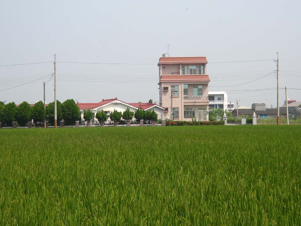
3. Land and soil quality: Xiaying District is a modern day alluvial deposit with soil that is composed of arenaceous rock of saline facies. The subsoil is composed of well-draining neutral soil composed of arenaceous mud and clay. The land of Xiaying District is useful for growing rice, sugarcane, orchards, and other dry land plants.
4. Climate: Xiaying District is to the south of the Tropic of Cancer with a tropical oceanic climate. Winter months are affected by continental cold air masses, with northeastern and northern monsoons commonly giving rise to dry and cold weather. Summers are heavily influenced by the Pacific Ocean high-pressure masses, with strong southwestern wind currents that create a hot and humid climate. The highest annual average temperature is between 23~24℃, with the lowest average temperature of the year above 18℃. Over 90% of the year's total precipitation occurs in June, July, and August in the form of thunderstorms and typhoons.
5. Hydrology and water resources: The main water system in Xiaying District is the Madou Drainage Canal upstream of the Jiangjyun River drainage tributary. Water flows along the northern side of the district into other districts of Madou, Syuejia, Jiali, Beimen, and Jiangjyun before finally exiting into the sea at Cingshan Port of Jiangjyun District. This extremely short tributary is only 24.2 km long. There's also a Fanziliao tributary that directs water from Fanzi Tianbei. This tributary serves as the major irrigation canal for farms in the southern Jhongying areas.